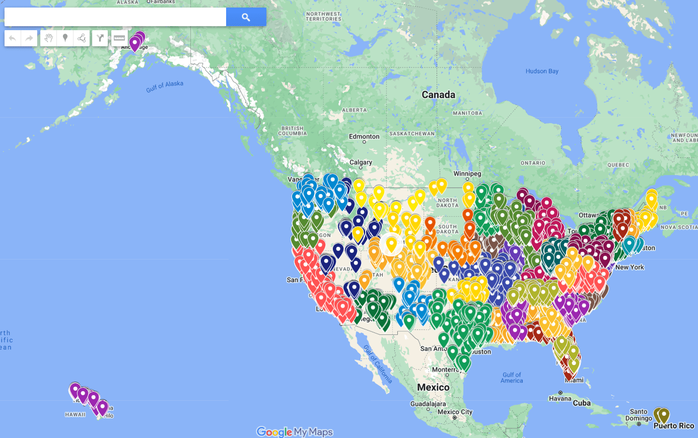


The Foreclosurepedia Google Map Display of Contractors is an interactive mapping resource that plots verified field service contractor locations across the entire United States — from Hawaii and Alaska to Puerto Rico and every state in between. Built on Google Maps infrastructure, each marker represents a specific contractor location, giving recruiters and operations teams a geographic view of coverage density, gap markets, and regional concentration that no spreadsheet can replicate. For firms managing national portfolios or targeting expansion into underserved markets, this tool transforms raw contractor data into actionable geographic intelligence.